 How to resolve AdBlock issue?
News
- Details
- Written by: Elizabeth Larson
The Employment Development Department’s new report said Lake County recorded a 5.8% unemployment rate, the lowest since February 2020, when it also was 5.8%.
Lake County’s rate in October was 6.2% and 7.4% in November 2020.
California’s overall unemployment rate declined from 7.3% in October to 6.9% in November. The state’s November 2020 jobless rate was 8.7%.
Nationally, the Bureau of Labor Statistics said unemployment dropped to 4.2% in November, down from 4.6% in October and 6.7% in November 2020.
Lake County’s labor force in November totaled 28,340 individuals, of which 1,650 were unemployed.
Its 5.8% unemployment rate ranked it No. 43 statewide.
The lowest jobless rate was in Marin, at 2.9%, while the highest was in Imperial, with 15.5%.
Lake’s neighboring county jobless rates and ranks were: Colusa, 10.3%, No. 57; Glenn, 5.1%, No. 29; Mendocino, 4.7%, No. 25; Napa, 4.2%, No. 14; Sonoma, 3.7%, No. 7; and Yolo, 4.3%, No. 16.
The state’s dashboard of unemployment claims showed Lake County residents filed 474 unemployment claims in November, down from 718 in October; it should be noted that there were five weeks reported for October, compared to four in November.
Employment picture improves across California
The number of Californians employed in November was 17,719,400, an increase of 79,900 persons from October’s total of 17,639,500, and up 735,500 from the employment total in November of last year, the report said.
The Employment Development Department said the number of unemployed Californians was 1,321,300 in November, a decrease of 61,900 over the month and down 299,400 in comparison to November of last year.
The report said California’s employers added 45,700 nonfarm payroll jobs to the economy, accounting for 22% of the nation’s 210,000 overall jobs gain for the month of November.
The state has now regained 1,889,000, or nearly 70%, of the 2,714,800 jobs that were lost in March and April 2020 due to the COVID-19 pandemic.
California payroll jobs totaled 16,385,100 in November 2021, up 45,700 from October 2021 and up 821,800 from October of last year, the report said.
The report said that since February 2021, California has added 977,200 total nonfarm jobs, which averages out to be a gain of 97,720 jobs per month for that time period.
In November eight of California’s 11 industry sectors gained jobs with professional and business services (+18,800) leading the way due to large gains in professional, scientific, and technical services thanks, in part, to increases in scientific research and development services and computer systems design and related services.
Educational and health services (+9,500) also showed good month-over job gains thanks to strength in Ambulatory Health Care Services and Educational Services, the report said.
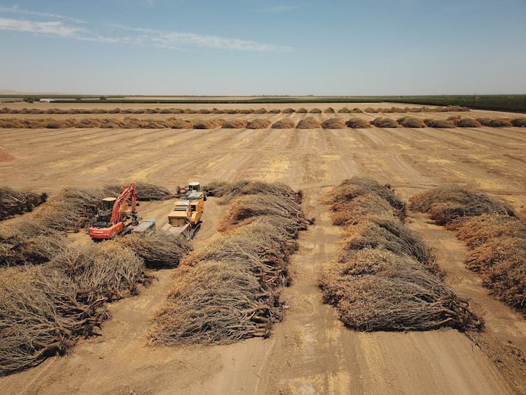
A notable improvement was reported in the agricultural sector.
The report said the number of jobs in the agriculture industry increased by 17,000 from October 2021 to 433,500 jobs in November. The agricultural industry has 19,800 more farm jobs in November 2021 than it did in November a year ago.
The Employment Development Department said construction’s sizable loss (-1,700) was largely due to reductions in Specialty Trade Contractors.
In related data that the Employment Development Department said figures into the state’s unemployment rate, there were 434,676 people certifying for Unemployment Insurance benefits during the November 2021 sample week. That compares to 463,257 people in October and 1,278,220 people in November 2020.
Concurrently, the agency said 52,716 initial claims were processed in the November 2021 sample week, which was a month-over decrease of 7,163 claims from October and a year-over decrease of 116,272 claims from November 2020.
Email Elizabeth Larson at
- Details
- Written by: Shuang-Ye Wu, University of Dayton
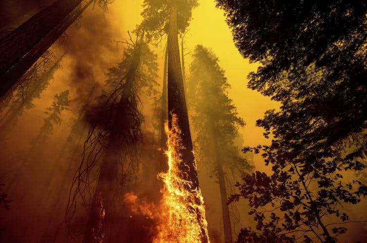
Alongside a lingering global pandemic, the year 2021 was filled with climate disasters, some so intense they surprised even the scientists who study them.
Extreme rainstorms turned to raging flash floods that swept through mountain towns in Europe, killing over 200 people. Across Asia, excessive rainfall inundated wide areas and flooded subway stations in China. Heat waves shattered records in the Pacific Northwest, Europe and the Arctic. Wildfires swept through towns in California, Canada, Greece and Australia. And those were only a few of the extremes.
In the U.S. alone, damage from the biggest climate and weather disasters is expected to total well over US$100 billion in 2021.
Many of these extreme weather events have been linked to human-caused climate change, and they offer a glimpse of what to expect in a rapidly warming world.
In the U.S., something in particular stood out: a sharp national precipitation divide, with one side of the country too wet, the other too dry.
As a climate scientist, I study the impact of global warming on precipitation and the water cycle. Here’s what happened with precipitation in the U.S. in 2021 and why we’re likely to see similar scenarios in the future.
The east-west weather divide
The eastern U.S. weathered storm after storm in 2021. Record rainfall in Tennessee triggered deadly flash flooding in August. The remnants of Hurricane Ida merged with another front days after the hurricane hit Louisiana and became so intense they set rainfall records and flooded subway stations and basement apartments in New York and Pennsylvania, with devastating consequences.
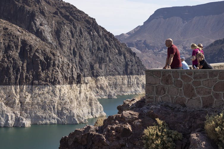
Almost the entire West, meanwhile, was in some stage of drought, helping to fuel wildfires that swept through forests and towns.
This kind of east-west weather divide can be enhanced by La Niña, a periodical phenomenon fueled by Pacific Ocean temperatures that tends to leave the Southwest drier than normal and the North and much of the eastern half of the U.S. wetter.
But something else is going on: Global warming fuels both dryness and extreme rainfall.

3 impacts of global warming on rainfall
Three things in particular happen to precipitation when the planet warms.
1) Global warming leads to more overall precipitation.
Higher temperature increases evaporation from Earth’s surface. It also increases the atmosphere’s capacity to hold moisture at a rate of about 7% per degree Celsius that the planet warms. With more moisture evaporating, global precipitation is expected to increase, but this increase is not uniform.
2) Global warming leads to more intense precipitation.
With higher temperature, more moisture is needed to reach the condensation level to form precipitation. As a result, light precipitation will be less common. But with more moisture in the atmosphere, when storm systems do develop, the increased humidity leads to heavier rainfall events.
In addition, storm systems are fueled by latent heat – the energy released into the atmosphere when water vapor condenses to liquid water. Increased moisture in the atmosphere also enhances latent heat in storm systems, increasing their intensity.
Research shows that both the frequency and intensity of heavy precipitation events has increased since the 1950s over most land areas.

3) Global warming tends to make wet places wetter and dry places drier.
Precipitation is not distributed evenly over the planet because of the global atmosphere circulation pattern. This global circulation brings moisture to places where winds come together, such as the tropical regions where we find most of the world’s rainforests, and away from places where winds diverge, such as the midlatitudes where most world’s deserts are located.
Assuming no significant changes in global wind patterns, increases in evaporation and moisture will mean more moisture is transported from dry areas to wet areas and into the storm tracks at higher latitudes. Global warming could also potentially change the global circulation pattern, causing a shift in the world’s wet and dry regions.
Mountains, moisture and the east-west divide
These dynamics are also affected by local conditions, such as the shape of the land, the types of plants on it and the presence of major water bodies.
The western U.S., with the exception of the West Coast, is dry in part because it lies in the rain shadow of mountains. The westerly wind from the Pacific Ocean is forced upward by the mountain ranges in the West. As it moves up, the air cools and precipitation forms on the windward side of the mountains. By the time the wind reaches the leeward side of the mountains, the moisture has already rained out. As the wind descends the mountains, the air warms up, further reducing the relative humidity.
Higher temperature in areas like these where the moisture supply is already limited means less humidity in the air, leading to less rain. Higher temperature and less precipitation would also reduce snow packs in the mountains and cause earlier melt in spring. All these changes are likely to increase aridity in the West.
The eastern U.S., on the other hand, receives abundant moisture from the North Atlantic and the Gulf of Mexico carried by the easterly trade wind. With abundant moisture supply, increasing temperature means more moisture in the atmosphere, leading to more precipitation and stronger storms.
This is what years of precipitation records show and what is projected for future precipitation based on climate models. Both show a decrease in annual precipitation in the West, likely meaning more long periods of drought, and an increase in the East with global warming.
[Over 140,000 readers rely on The Conversation’s newsletters to understand the world. Sign up today.]![]()
Shuang-Ye Wu, Professor of Geology and Environmental Geosciences, University of Dayton
This article is republished from The Conversation under a Creative Commons license. Read the original article.
- Details
- Written by: Elizabeth Larson
This week there is a mouse, a hamster and a horse waiting in the agency’s care.
Call Lake County Animal Care and Control at 707-263-0278 or visit the shelter online for information on visiting or adopting.

Young male mouse
This young male mouse has brown hair, pink ears and a pink nose.
He is in kennel No. A19, ID No. LCAC-A-1212.

Male hamster
This 1-year-old male hamster has a brown and white coat.,
He is in kennel No. A10, ID No. LCAC-A-1287.

Male quarter horse
This 18-year-old male quarter horse has a red coat and white blaze.
He is in upper pen No. 1, ID No. LCAC-A-2410.
Email Elizabeth Larson at
- Details
- Written by: Elizabeth Larson

LAKE COUNTY, Calif. — The National Weather Service said rain and chances of more snow around Lake County are in the forecast through Wednesday.
Snow fell in parts of Lake County early Sunday, primarily dusting hilltops and higher elevations such as the Cobb area, where the snow was reported to have mostly melted off by nighttime.
The National Weather Service issued a hazardous weather outlook for much of Lake County and a winter weather advisory for the county’s northern area through 10 a.m. Monday due to the expectation of snow, particularly in higher elevations where it’s forecast to fall in heavy amounts.
The forecast also noted that snow could fall at elevations below 500 feet on Monday.
As a result, the morning commute for many drivers could be slippery and hazardous, the agency said.
Beyond Monday, the forecast calls for chances of rain and snow through Wednesday, along with more rain.
The National Weather Service said conditions are expected to clear from Wednesday night through Saturday night.
On Sunday, chances of showers are once again in the forecast.
Daytime temperatures through Sunday will range from the low to mid-40s, and will mostly be in the low 30, with the exception of Wednesday, when temperatures are forecast to fall into the high 20s.
Winds topping 10 miles per hour are forecast on Monday and Tuesday, and lighter winds of about 5 miles per hour are expected on Wednesday.
Email Elizabeth Larson at